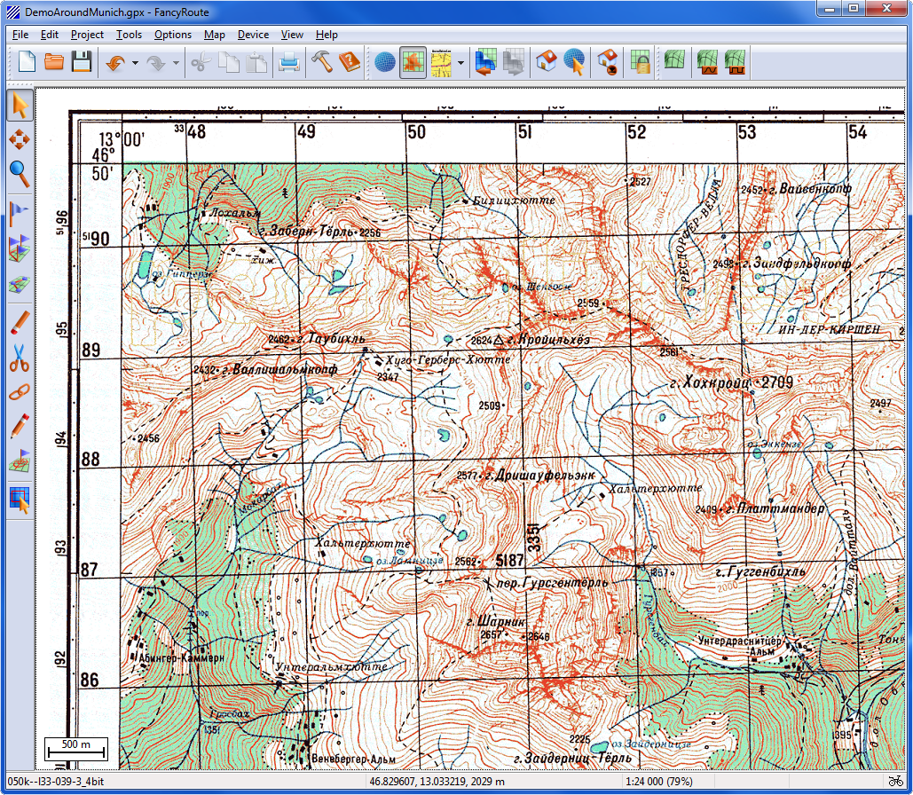
Screenshots
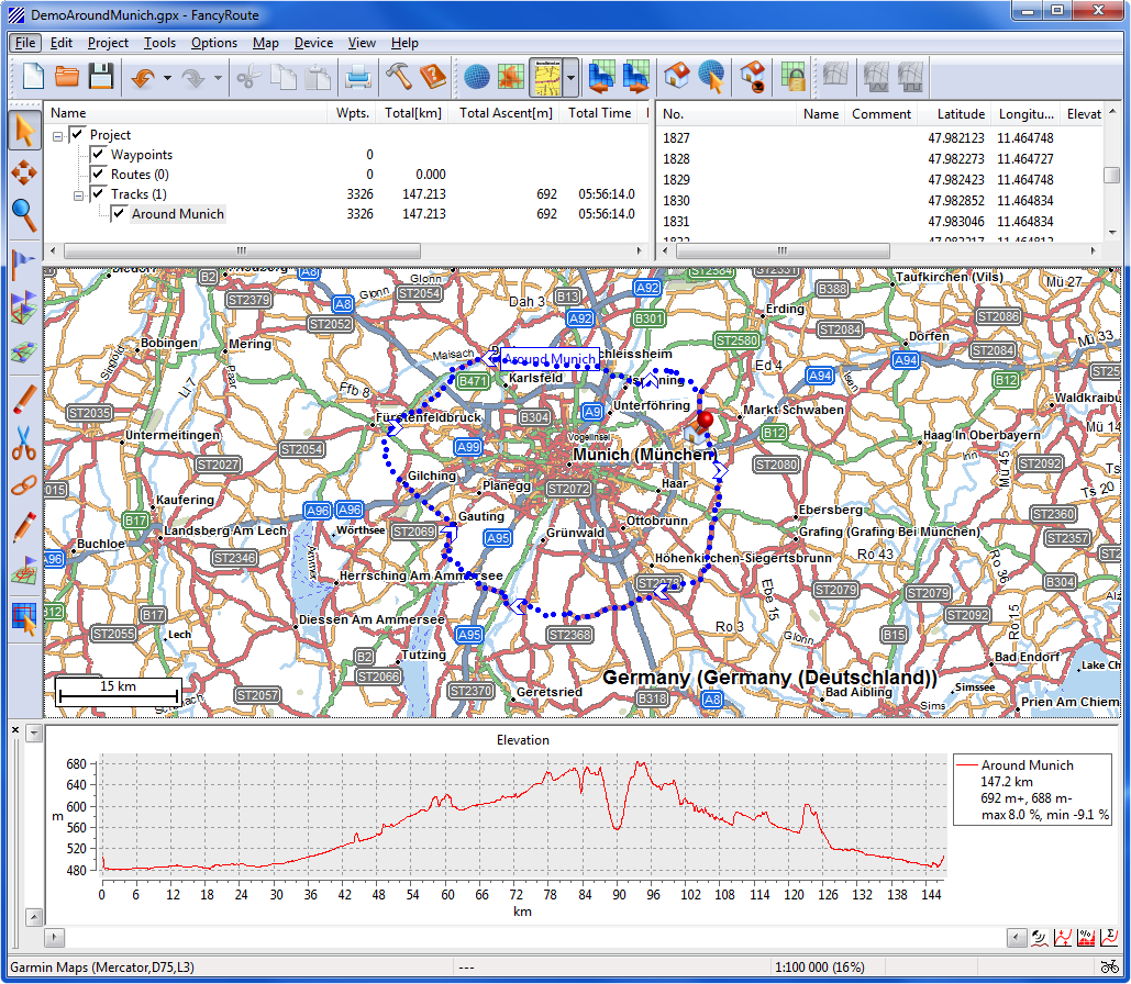
User Interface
project pane, coordinates panes, map pane and elevation diagram
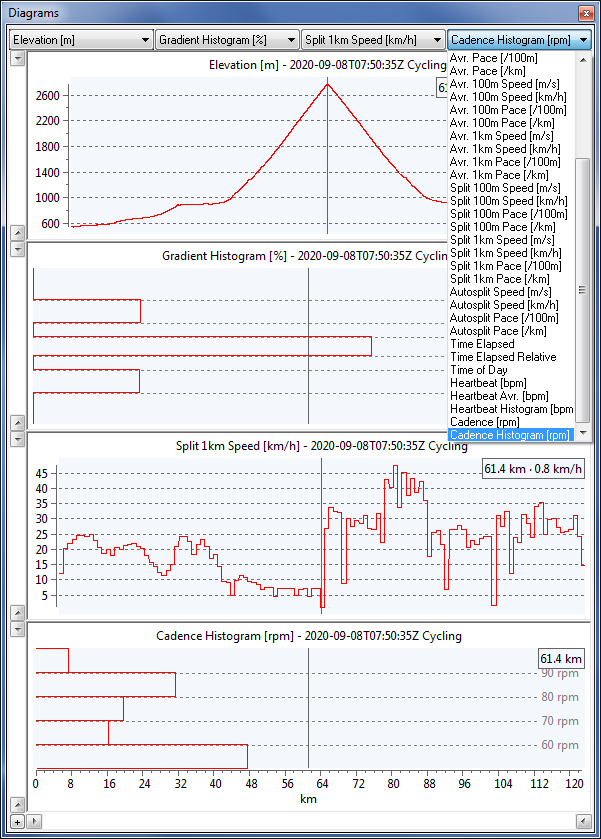
Diagrams
docked or floating, various diagram types available
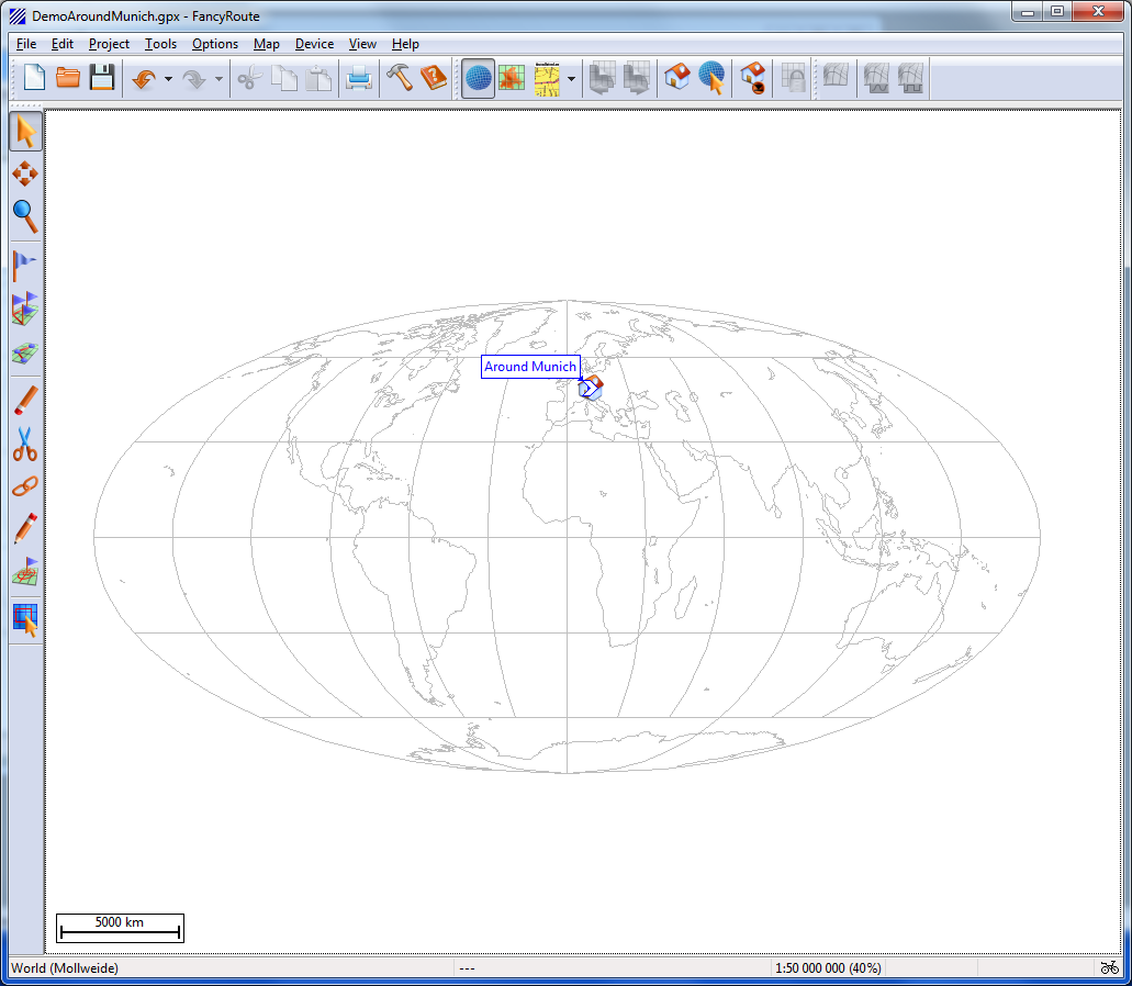
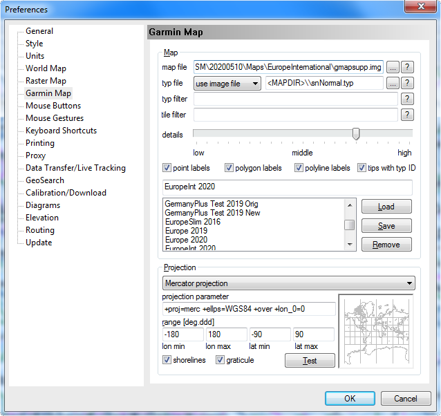
World Projection
fully configurable projection
Raster Map
user calibrated
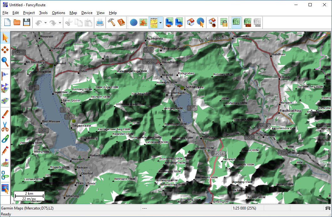
Relief Shading
all offline
Configuration
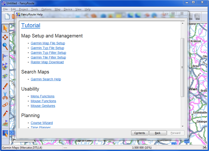
Built-in Help System
offline readable